 FEAMP GeoNetwork catalogue
National Research Council
Type of resources
Available actions
Topics
INSPIRE themes
Keywords
Contact for the resource
Provided by
Years
Formats
Representation types
Update frequencies
status
Scale
-
Multibeam survey areas from several CNR-ISMAR oceanographic cruises from 1997 to 2014
-
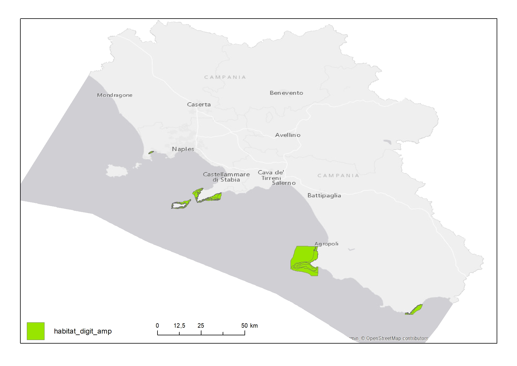
Habitat map of Marine Protected Areas (MPAs) in Campania Region
-

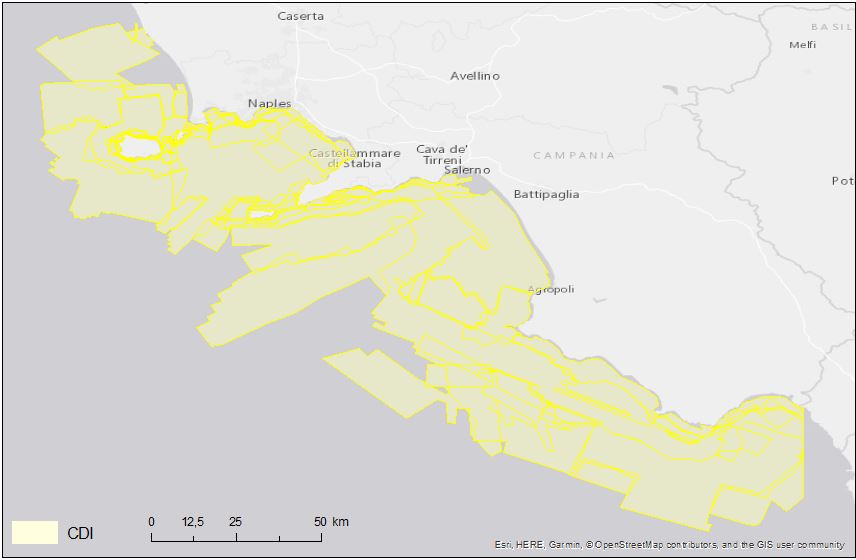
Bathing facilities on the coast of Campania Region
-

Benthic habitat map of the Campania Region produced in the framework of the FEAMP-ISSPA Project by CNR-ISMAR
-

Elements digitalized from nautical chart (e.g pipelines, submarine cables, aquaculture sites
-
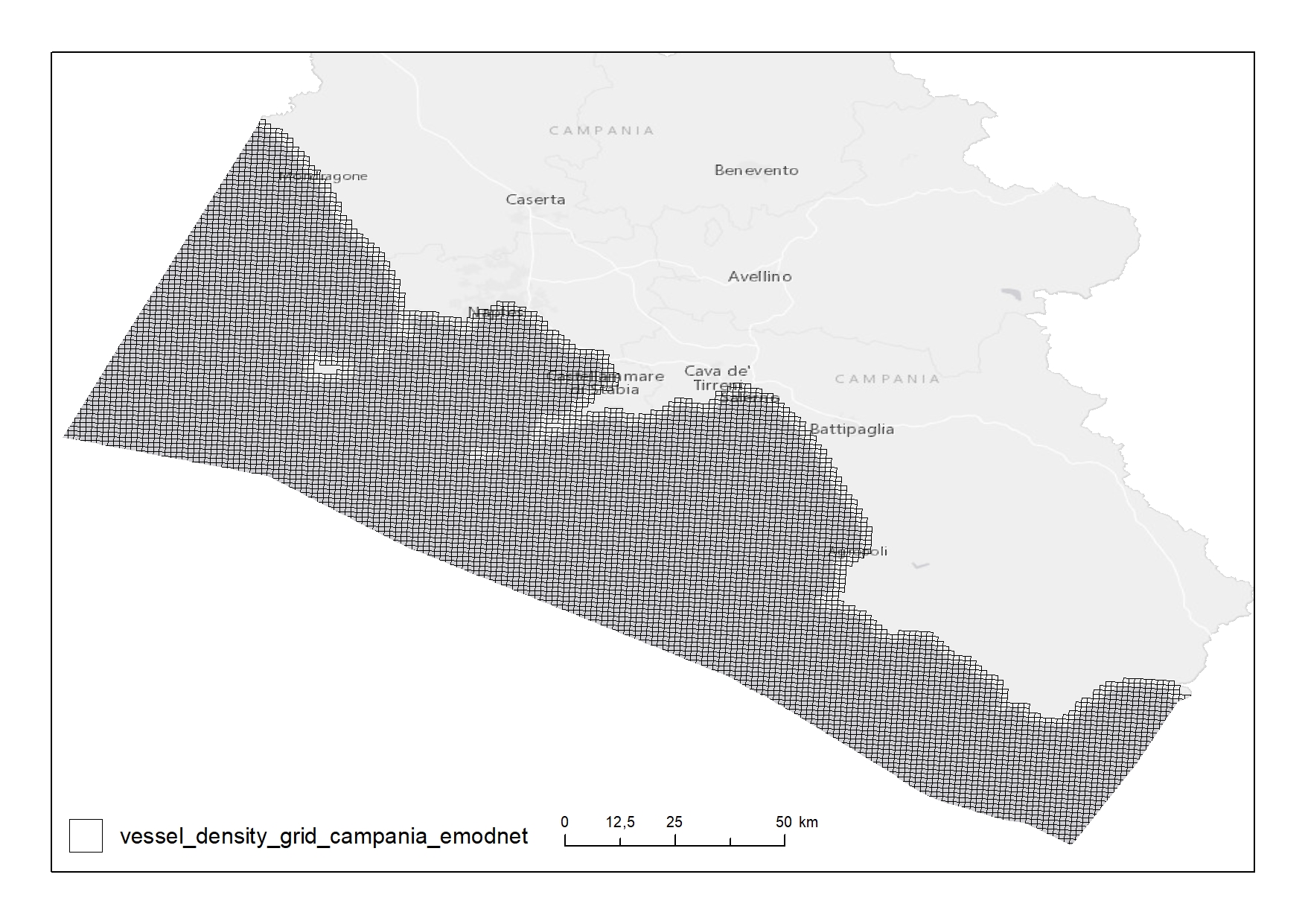
Shipping density from AIS data 2018 in 1km*1km cells of a grid covering the Campania Region. The following ship types are available:0 Other, 1 Fishing, 2 Service, 3 Dredging or underwater ops, 4 Sailing, 5 Pleasure Craft, 6 High speed craft, 7 Tug and towing, 8 Passenger, 9 Cargo, 10 Tanker, 11 Military and Law Enforcement, 12 Unknown and All ship types. Data are available by month of year. Yearly averages are also available.
-
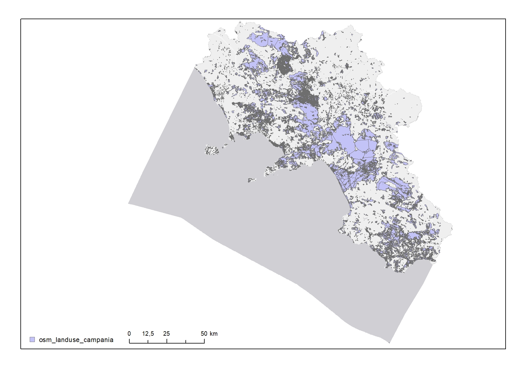
Land use in the Campania Region
-

Points of mooring or anchoring along the Campania coast
-
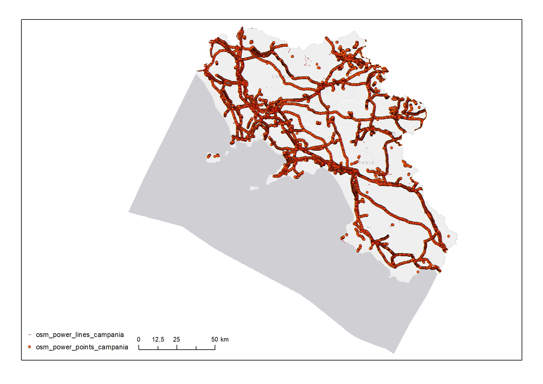
Power network in the Campania Region
-
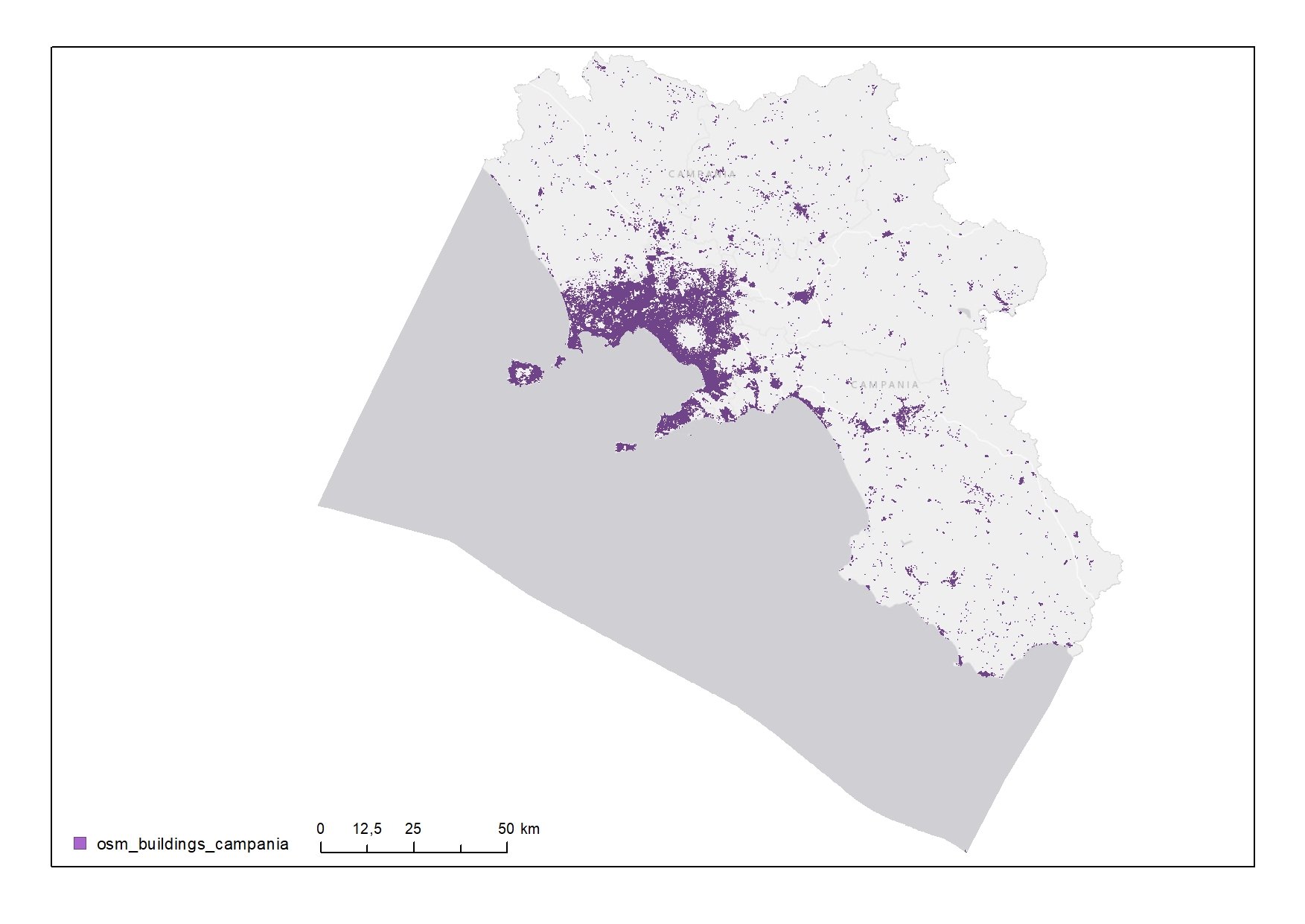
Buildings of the Campania Region